Old Aerial Photographs
In a similar manner to the main Historic England site there seem to be improvements.
10 July 2026 - Either page acessed or just a general review
25 July 2026 - Reviewing my pages on the village and maps I see that I have not relly explained to Historic England Aerial Explorer. Also having made changed to the way that I handle external links I need to consolidate this method into either embedded images and.or links to the Hstoric England website.
I am not sure how I managed to get earthworks_bw_1946.png as it is taken from the Smartframe protected image. I know that I can fool the CRM by emailing from an iOS device, but that is a pain!
26 July 2026 - Page was not in Google index - need to add as much of general interest to the page and submit it to Google.
I have reviewed the HE website since 2023 and Historic England have improved it.
Update August 2024 - I have to admit that I have not looked at the interface lately. However, I still find the Historic England website a little "challenging". I mainly use it to lookup local listed buildings
There are many aerial photos that could be used on my pages. However they would be a means for anyone who finds my pages to leave. The following are a collection of such images that open in a new window. The pages that they are relevant to need to have links placed.
Historic England's Aerial Photo Explorer
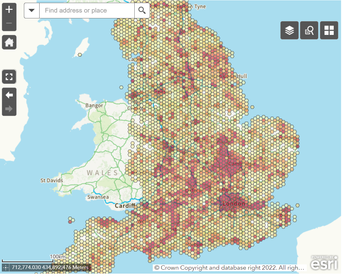
This feature of the Historic England website has a full-featured interface. Shown below is the interactive map that cn be used to select a geographic location:
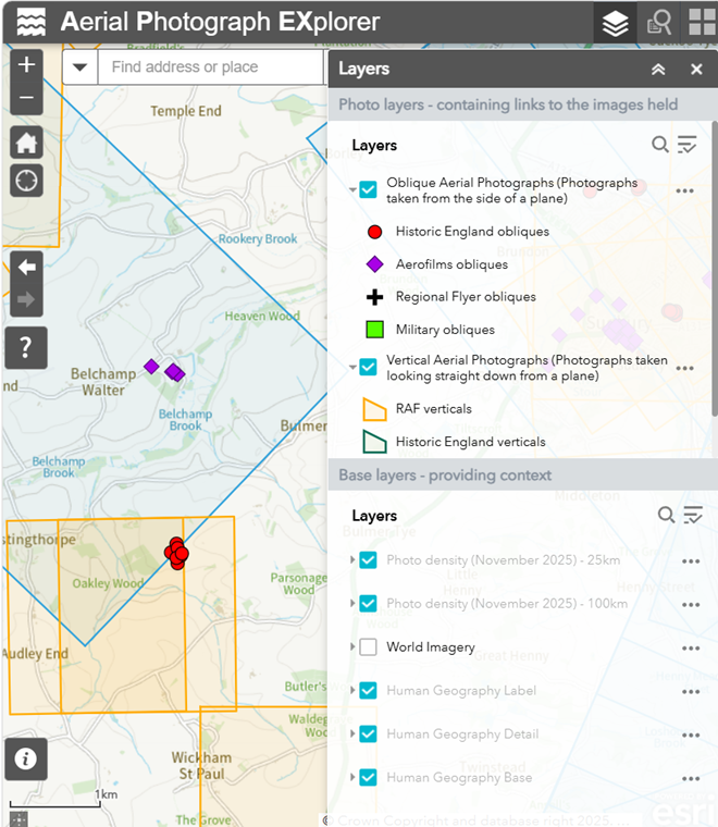
The interface after zooming into the Belchamp Walter area:
Belchamp Walter from the air
Some pics from the RAF - 1948
Aug 2023 - Aerial Photographs released by the US taken during WW II.
Top
Embedding
Images from Historic England can be embedded and/or linked to a page on their website. Both methods are problematic for me.
An example of a link to an aerial view of St. Peter;s in Sudbury 3 April 1929 can be seen here.
The image could be embedded, as seen below, but there are issues with this.
Smartframe, the company that provide the image protection (DRM), have help on how to "Share" the images. This includes help on copying links, embedding code, Social Media etc.
The image above is an example of an embedded image from the Historic England's Aerial Explorer
The problematic nature relates to the way that the "embed" interacts with my overall web design. The use of an IFRAME is part of this (I thnk). The embedded image overlays my page such that when scrolled the image overlays the manu system at the top of the screen. I also have to contain the embed in a seperate container to allow the centering and possibly other formating