Belchamp Walter Conservation Area
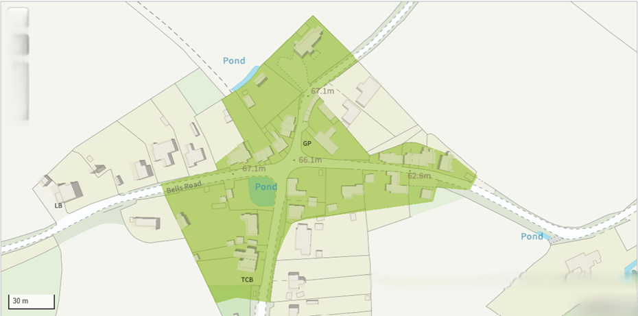
The Belchamp Walter Conservation area is shown below
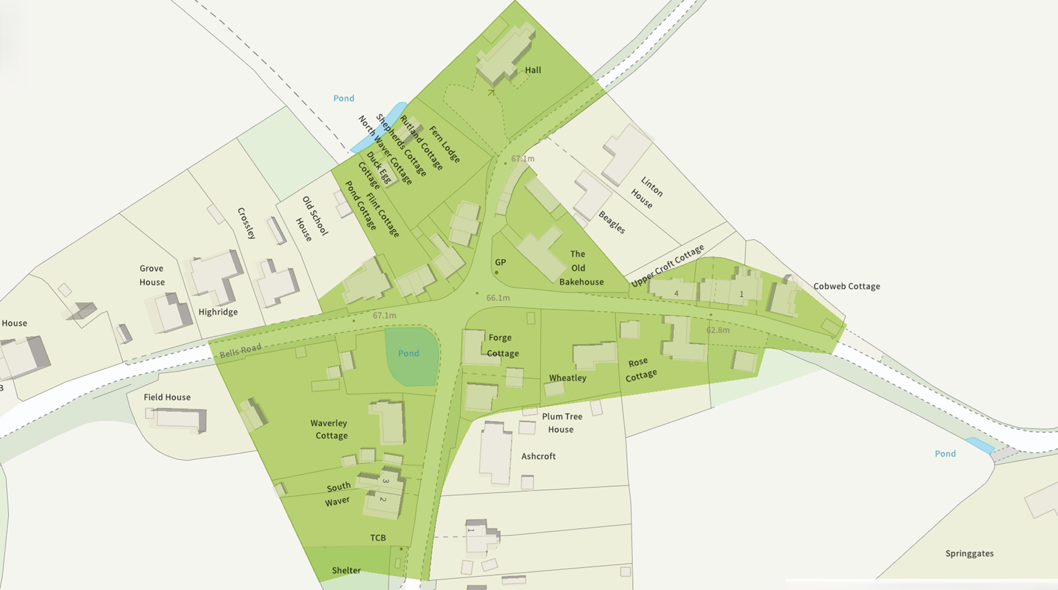
The Belchamp Walter Conservation area covers the roads radiating from the Crossroads and Duck Pond.
The buildings and their surrounding plots are subject to additional restrictions on what can and cannot be performed within this area. Alterations to the structure of the buildings is strictly controlled so that the character of the area is maintained. The addition of extra buildings also need prior permission to be built.
Internal Renovations of dwellings within a Conservation Area
The general rule is that internal renovations do not require planning permission.
The difference between the Village Envelope and the Conservation Area
The map below was taken from the Saturday Walkers Club map found for Belchamp Walter.
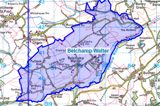
The map corresponds to the map held by the Parish Council. The Village boundary is quite large compated to the size of rhe village itself.
The village Envelope extends from the junction of the road to Gestingthorpe and the road a Nortey Farm in the South West. Northey Farm is not in Belchamp Walter. The South border of Belchamp Walter is at the bridge over Belchamp Brook just north of Nether Hall Farm, the foot of Nether Hill..
The Eastern limit of Belchamp Walter can be found on road to Sudbury just past Rookery Farm (the Rookery). Eyston Hall Farm is in Belchamp Walter, Eyston Hall is not. The road, Temple End, is in Belchamp Walter until the road turns North towards Foxearth, this is the Northern Extent of the village.